Mount Manaslu Trek (Tsum Valley/Manaslu)
Mount Manaslu Trek (Tsum Valley/Manaslu)
Nepal
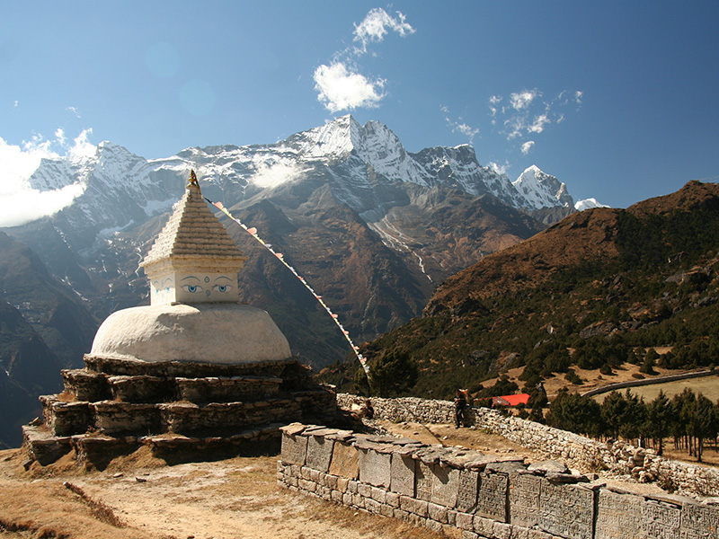
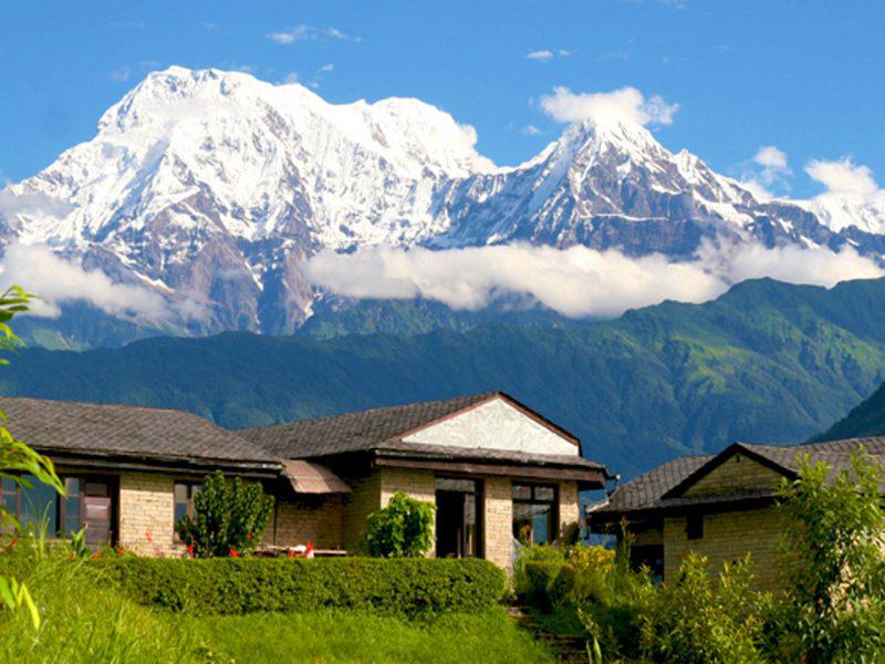
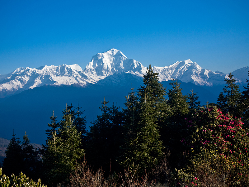
The Manaslu Valley Trek is more remote and spectacular than other treks, with rough steep tracks and limited accommodation. It is culturally fascinating with strong continuing links to Tibet in the upper Budi Gandaki river. The Tsum Valley, and Larkya La (5100m) provides a challenge and the views of Mt. Manaslu the eighth highest mountain in the world are marvelous and close. The trek around Manaslu can be done as a tea house trek except for the night before the Larkya La. The remote Tsum Valley side-trip should not be missed, with friendly hospitable people, a thriving Buddhist culture and untouched wildlife. Tsum comes from the Tibetan word ‘Tsombo’, which means vivid and we can only agree. The people are poor, since they have been by passed by development for centuries, but this means their unique culture has remained intact.
Tour Package Overview
We start walking gentle uphill trail through the forest. Along the way there will be lots of donkey passing the trail. We will reach Lapubeshi after walking for 2 ½ hours and it will take us another 2 hours to reach Machi Khola.. We will have our lunch there. We get to see beautiful waterfall and walk along the riverside of Budi gandaki.
We reach Tatopani (Hot spring) on the way and cross a bridge over the budi gandaki river. It is a gentle uphill and downhill walk until Dovan. Dovan is a small village with a few schools. After walking for 1 ½ hour from Dovan we will reach a cliff where we should be more careful as there are rocks falling out. After crossing a bridge we will arrive Jagat. Jagat is a restricted area. It is a small village where different ethnic group suvh as Gurung, Shahi, Chhetri and Thakuri lives.
After Jagat, we enter Tsum valley and walk through the gentle trail for ½ an hour until we reach a bridge. Once we cross the bridge we will climb uphill and downhill until Chisapani (Eklebhatli). We will have lunch there. We continue to walk through the forest and climb uphill until we reach Lopkha.
We will pass through many bridges today. First we start with a gentle walk and after passing the bridge, we climb steep uphill through the forest for 2 hours. The trail is narrow and we walk downhill to cross the bridge. We will walk uphill again until chumling village where we stop for lunch. We will walk gently and climb uphill to chukurparo where we will have good views of Ganesh himal 2 and 6, Tipu Himal.
We head towards north and walk through the gentle trail and pass through Lama Gaun and then we continue to walk further to Nile village. We pass through sub tropical mountains and walk close to Tibet. The villagers goes to Tibet for shopping.
Two hours of gentle walk and half an hour steep climb will reach us to Mu Gumba. If you are interested to visit Nunney can walk further an hour climb. Mostly there is no people in Gomba and we have to be very careful with doggies. After visiting Mu Gomba. We walk the same route back down to Nile village. We will cross the river and visit Ranchen Gomba which is famous for old arts. It is believe that if one perform a rituals then their wish will be fulfilled. After visiting the Gomba we will cross a bridge and reach our destination for the day.
We will walk same downhill trail to Lopka, where we will stop for lunch. We continue to walk down all the way until we cross the bridge after which we will follow the Budi gandaki river through the forest. The trail is zigzag upto Deng.
We will climb steep uphill and gentle walk until Bhi phedi. And then cross the bridge and climb steep stairs uphill through the forest. We will get to see different wild animals and if we are lucky enough we might even see deers as well. Spectacular mountain views is offered from here.
We will see a nature made bridge from a big stone. We will walk through another bridge closeby the stone made bridge. It is a gentle walk until we reach to the next bridge. A gentle up and downhill walk will reach us to Lho where we will have an excellent view of Manaslu.
We will either walk to Birendra lake or to the Manasulu view point (from here we can have a close view of the mountains) or we can walk to Manaslu Base Camp (where we can see Birendra Lake and Manaslu view point). Carrying a packed lunch is recommended.
Today we start walking very early at 4 in the morning. We will walk slowly gradual uphill to Larka pass for 4 hours. We will carry packed lunch. After the pass we have to be careful as we will walk steep zigzag down as the trail is slippery. While walking down we recommend to support each other. After 4 hours we will reach Bhimtang.
- Total of two nights’ accommodation in Pokhara (before and after the trek) at 3 Sisters GH
- Guide
- Assistants, (maximum weight to carry is 12 kg for female assistant and 15 kg for male assistant).
- 3 meals per day, afternoon tea & snacks,
- Accommodation for the duration of the trek (2 persons per room). However, during high season one room per two clients may not always be available. If this should happen, we request our clients to be flexible and share a triple or room with four beds.
- Manaslu Park entry, TIMS fees and Special permit,
- Staff insurance,
- Transport to and from the trailhead,
- 13% Tax
- Supply a 75/80 liters backpack for the main trekking stuff, sleeping bag
Restricted area: Please know that the Tsum valley area is located in a restricted area and that hiking in this region requires a special entry permit. To organize this permit we (agency) needs one working day. Please know only groups of two or more trekkers (documents) are eligible for the special permit.
Trek Price does not include:
- Mineral water
- Beverages– soft and hard
- Extra dessert
- Souvenirs
- Tipping to staff
- Any entry fee during cultural (monastery/temple heritage visit)
- Clients’ insurance
- Remote and spectacular
- Exicting challenge of Larkya La 5100m
- Close views of Mt Manaslu, World's 8th Highest mountain
Other Related Package
Cultural Journey to Solu (Everest region)
A cultural journey to Solu is a newly discovered route by 3 Sisters Adventure team. Many of our permanent staff membe...
Annapurna Massif (Round Annapurna) Trek
Since its opening in 1977, the Annapurna Circuit has been renowned as one of the world’s greatest trekking dest...
The Sunset Village Trek (Astam-Dhampus)
Astam and Dhampus are traditional mountain villages offering a taste of Nepali Village life and excellent mountain vi...
Himalayan Sunrise Trek (Ghorepani (Poon Hill) Ghandruk)
Sunrise and panoramic mountain views. This is one of the most scenic teahouse treks in the Annapurna region. From Gho...
Happy Feet (Panchase trek)
For travelers who don't have time and wanting an authentic Himalayan trekking experience with panoramic mountain...
Mount Manaslu Trek (Tsum Valley/Manaslu)
Difficulty level : streneous
The Tsum Valley & Manaslu trek is remote and spectacular, with rough steep tracks and limited accommodation.
It is culturally fascinating with strong continuing links to Tibet. The Larkya La (5,100m) as an exciting challenge and
the close views of Mt Manaslu, the 8th highest mountain in the world, are breathtaking. You should not miss the remote Tsum Valley
side-trip with its untouched wildlife.
Trek Duration: 18 -20 days
Trail Open: Oct – Nov and Apr - May
Level of Difficulty: Challenging
Highest Point: 5200m.
